Logo Icons / facebook Icons / arrow / up Icons / arrow / right Icons / arrow / down Icons / arrow / left Icons / angle / up Icons / angle / right Icons / angle / down Icons / angle / left Icons / strava Icons / check Icons / circle Icons / envelope Icons / image Icons / map Icons / map-marker-alt Icons / map-marker-alt 2 Icons / map-levels Icons / phone Icons / search Icons / Map search Icons / Bicycle Icons / Bullhorn Icons / Shoes Icons / arrow right Icons / longueur Icons / levels Icons / flag Icons / flag Icons / pdf Icons / times Icons / times Icons / check Icons / Beer Icons / Wellness
  • Our waymarked trails
    • Interactive map
    • Waymarked trails concept
    • Durbuy Trails
    • Hotton trails
    • Marche-en-Famenne trails
    • Nassogne trails
    • Rochefort trails
    • Somme-Leuze trails
  • Trail-running stay in Famenne
    • Explore the Famenne region
    • Tourist attractions
    • Local beers and specialities
    • ‘Trail Runners Welcome’ establishment
    • Wellness
  • Useful tips
    • Trail advice
    • Tourist information
  • Online boutique
    • All our articles
  • Contact
    • Contact us
  • Fr
  • Nl
  • En
Famenne by bike

Deep breaths

9,23 KM
Length
259 M D+
Elevation gain
Office Tourisme Nassogne
Start

Rue de Lahaut, 3
Nassogne 6950  
Belgium

PDF
GPX
QR Code

Download on mobile

This route runs along rural roads towards Masbourg.

Offroad : 65 %

A vertical slope from Masbourg.
Report a defective waymark

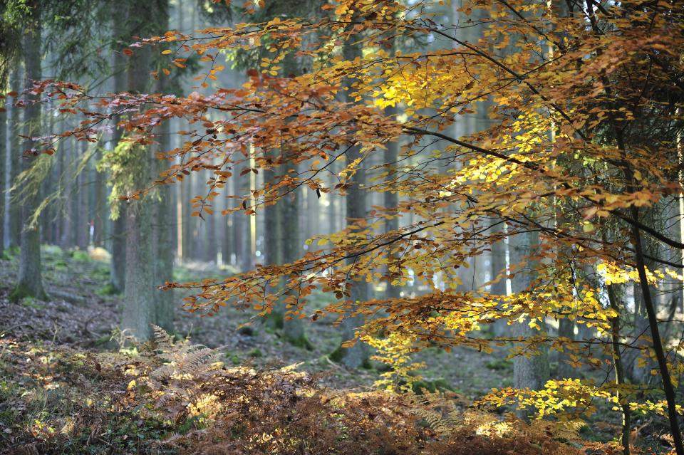
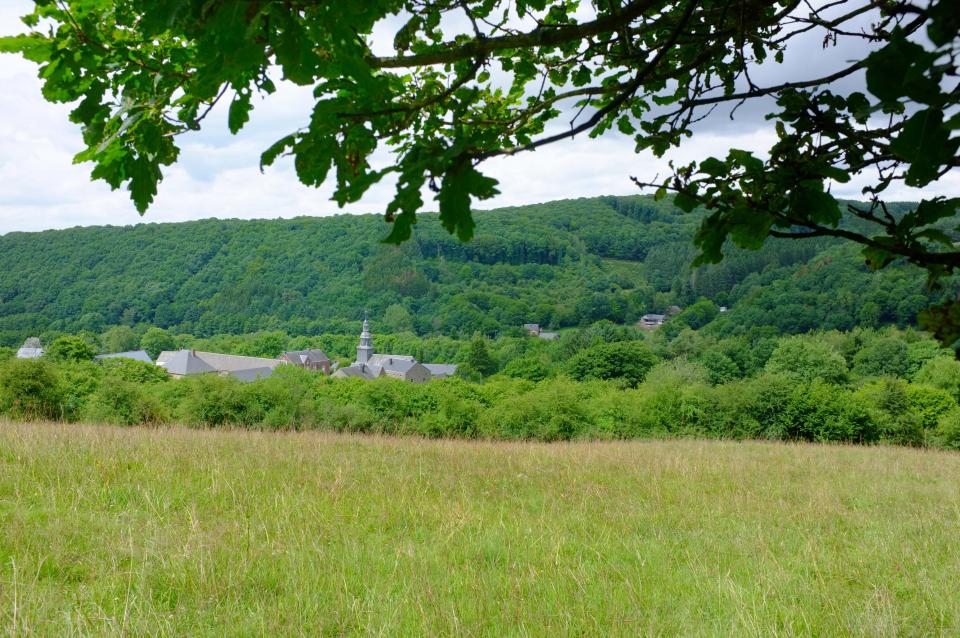
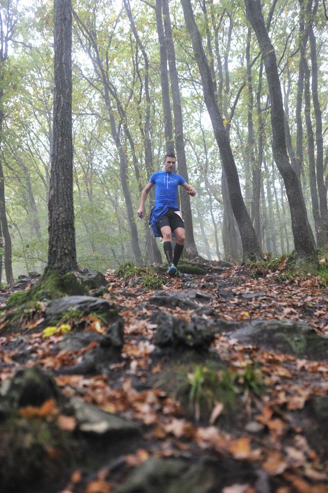
Nassogne blue trail in pictures

The other trails of Nassogne

Nassogne green trail

5,78 KM 158 M D+

Nassogne black trail

39,64 KM 1083 M D+

Nassogne red trail

25,73 KM 735 M D+
Map

Newsletter

©2025 Trail en Famenne
Mentions légales
Website creation : Expansion

Contact us

Pays de Famenne (ASBL)
Rue Saint Laurent, 14
B-6900 Marche-en-Famenne
T. +32(0)84/222.583
info@trailenfamenne.be